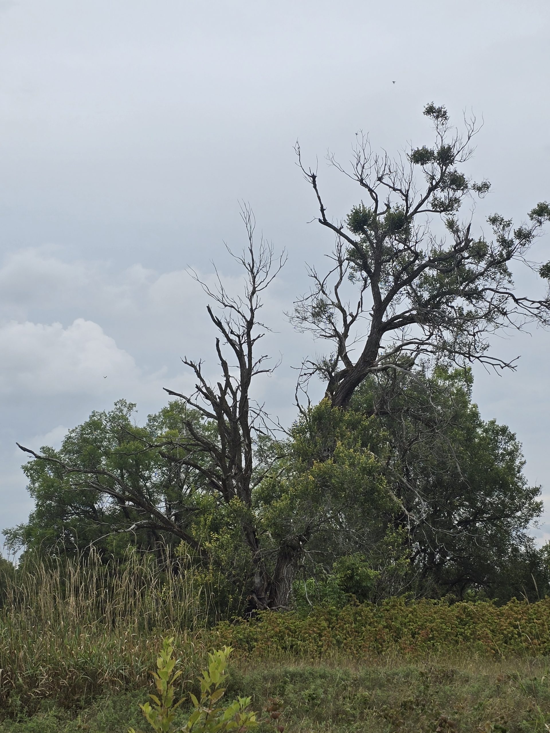
Burwash
Burwash is an unincorporated, former town about 50km south of Sudbury. The community was built to house the staff at the nearby Burwash Correctional Center, a provincial jail that opened in 1914.
Before Hwy 69 existed, the only way in or out of Burwash was via a CN railway. For this reason, the town was built to support the prison, allowing guards and other support staff to maintain a residence there. The prison farm and the supporting community were built by inmate labor and housed around 1000 people at its peak. The town had a school (with kindergarten to grade 10), a post office, tailor and shoe repair shops, a church, a barber shop, and even a grocery store that sold bread the inmates made!
The village was built from the lumber and all of the provincial parks were provided with picnic tables made there as well. Burwash was considered to be almost self-sufficient, with the inmates working at various trades and receiving an education. Unfortunately, the prison closed in 1975 as the province decided it cost too much to operate. In 1987 the land was parceled off to The Department of National Defense, the Burwash Native Peoples Project, the Sudbury Public School Board, Ministry of Transportation, Ministry of Natural Resources, and a few others. To this day, the DND has a large presence there, with winter survival operations taking place here for the military, though all the other former buildings were demolished in 1994.
Getting There
To get to Burwash, you need to follow Trans-Canada Hwy/ON-69 S onto Burwash Farm Rd., then onto Burwash Correct Center Rd. Along this ‘road’, there are several sites that you could easily find. The Ministry of National Defense has several clearly posted white signs wherever you are not allowed to stay, so just keep your eyes open to determine where you are or are not allowed to stay.
Nearby Amenities
Sudbury is only 50 km / 45 min away, so if there’s something you need, Sudbury is a short trip away. As a major city, you can expect to find anything you need there. It is 50 km away though, and there’s very limited cell service here, so if you do need something, I’d recommend planning ahead so you’re not making regular trips to Sudbury.
The Site
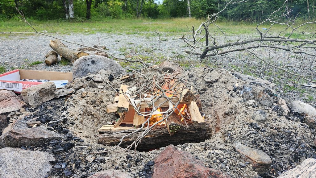
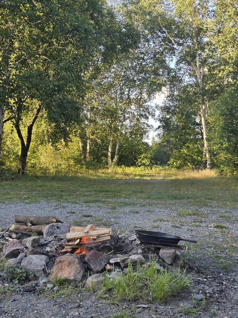
The site we chose was actually more like 3 sites. As you pull in, there’s a smaller site in front of the first set of tree lines. Behind it, there’s a larger site with a firepit already. To the right of that, there’s a small trail that leads to another site, closer to the road, which is also visible from the fork in the road, should you continue driving.
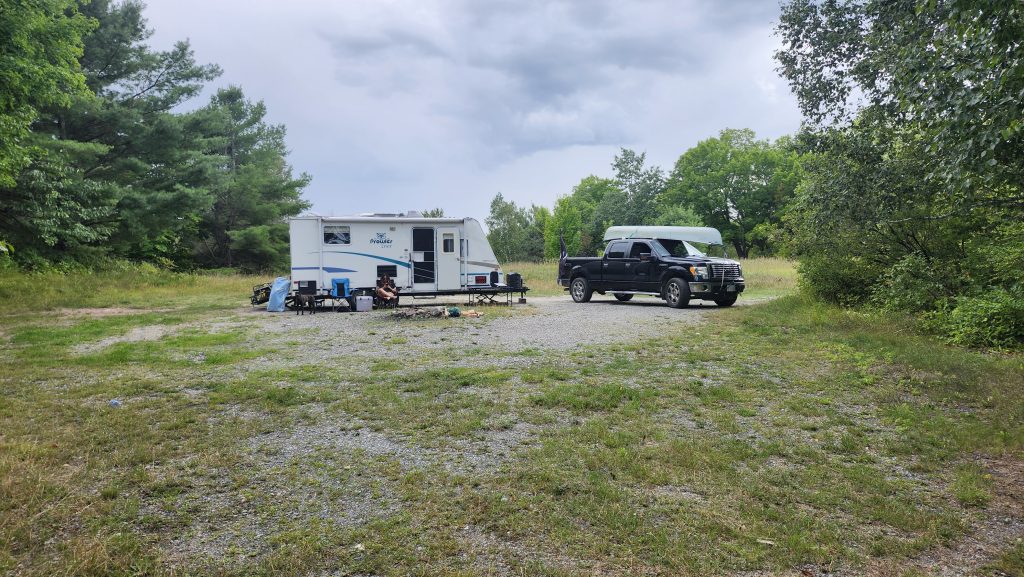
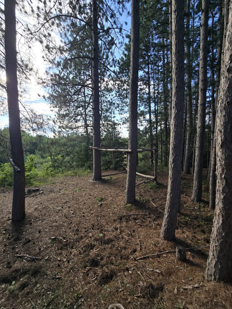
During my exploration time there, I found several other campsites down all the other trails, some with firepits and bushcraft, others just a flat area of grass.
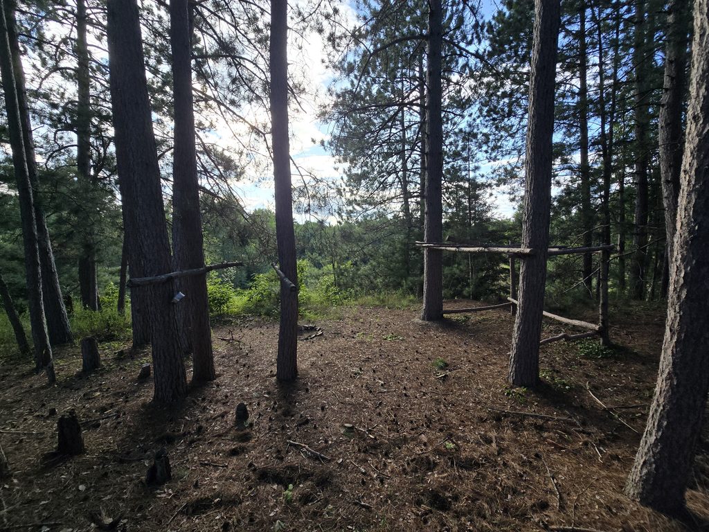
After our second or third night there, a small group took the spot furthest from us, closest to the road. While we were relatively close, we still had enough distance from each other that activities like music, campfires, ATVs, and generators weren’t really a noise issue.
Activities
There is a lake down the road with a boat launch. On warmer days, it’s a great spot to swim, but there’s very large leeches, so if that’s an issue, maybe stick with a boat. We travel with both a 15.5′ canoe as well as a inflatable SUP, however, both take some time to set up, and we tend to not go through that effort unless we’re on a waterfront campsite, which ours was not. So, sadly, no paddling, canoeing, or fishing for us here, but if you don’t mind the effort or have a lighter setup, the lake looks absolutely gorgeous.
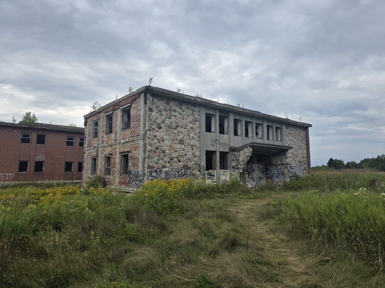
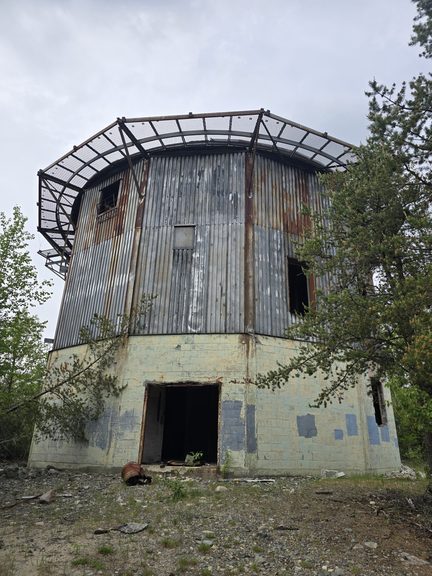
About 2km down the road, there’s also a trail leading to the abandoned Burwash Correctional Center. If exploring abandoned buildings is something you’re into, be sure to check out my hike to Burwash Prison or my other abandoned adventures.
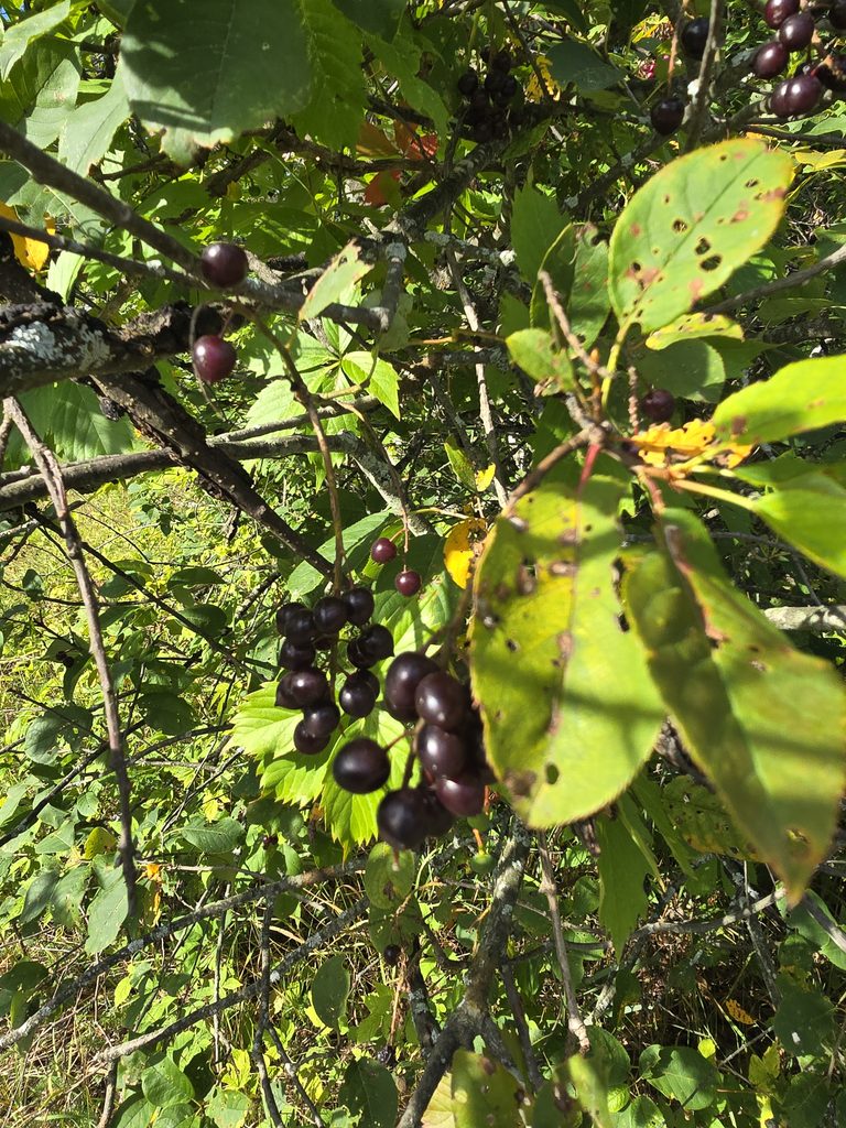
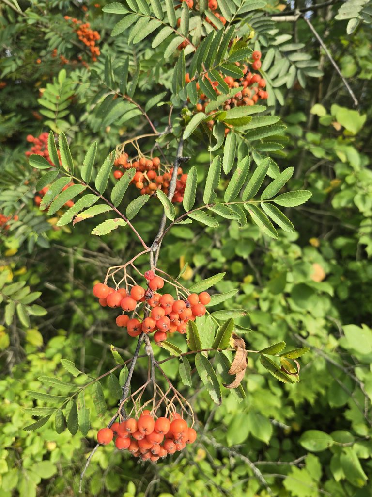
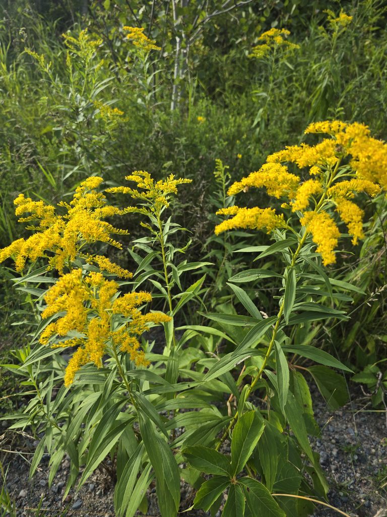
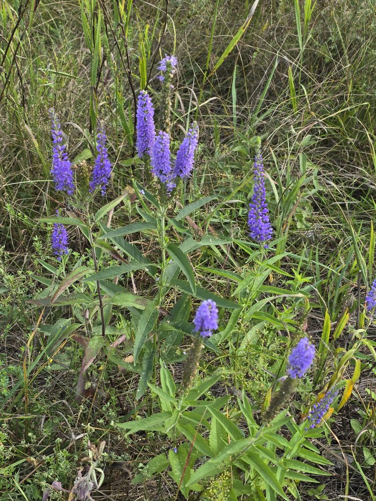
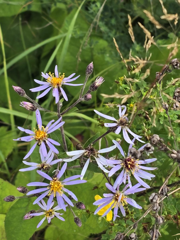
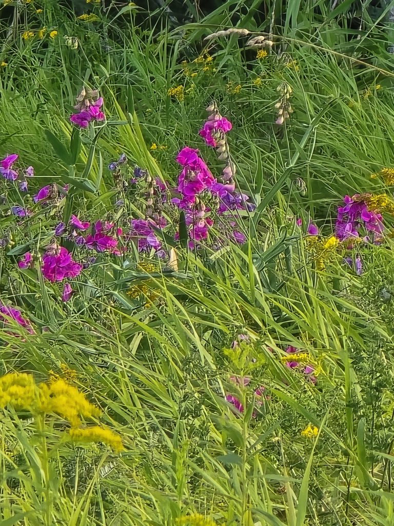
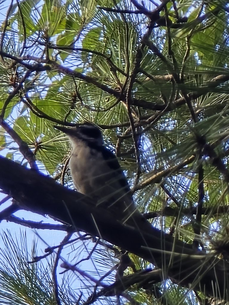
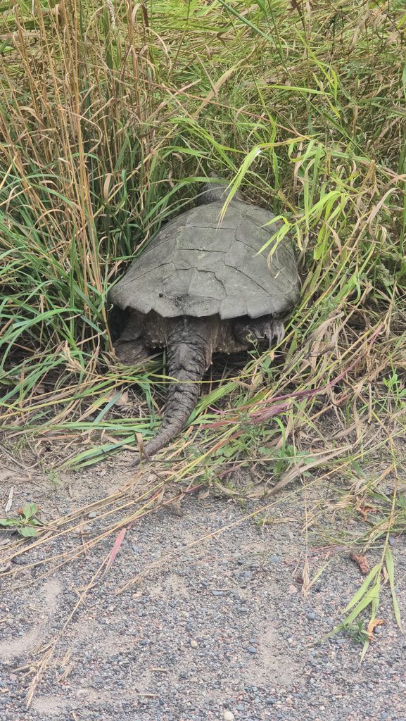
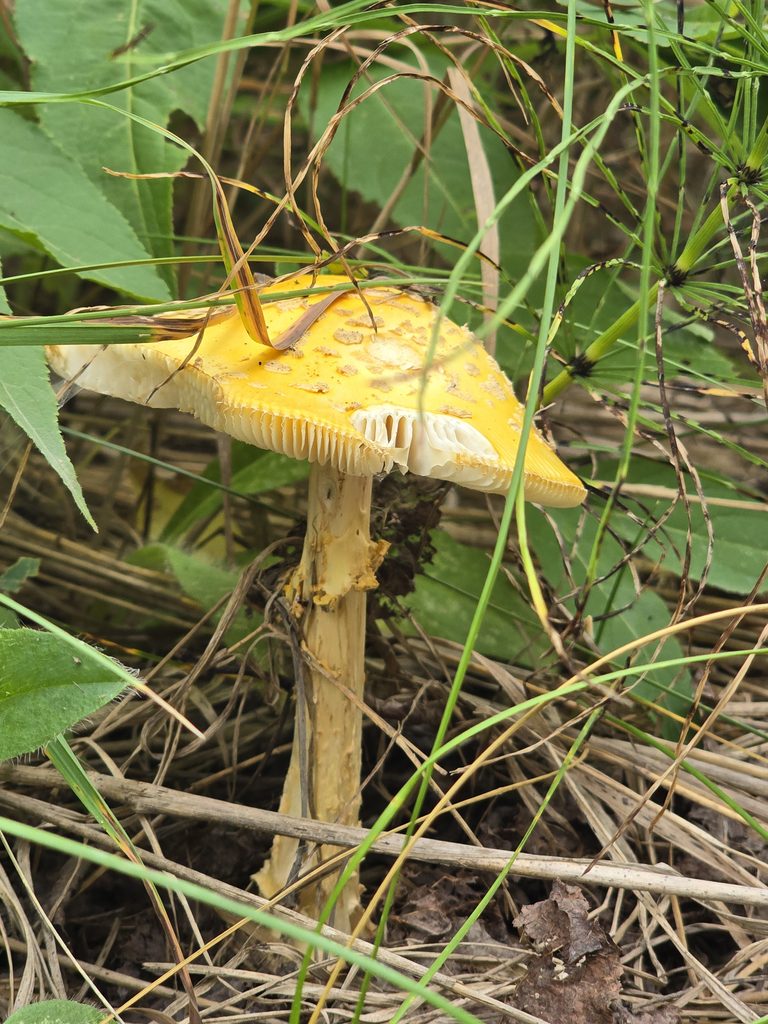
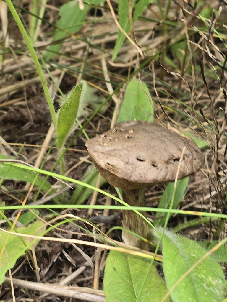
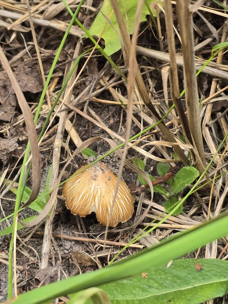
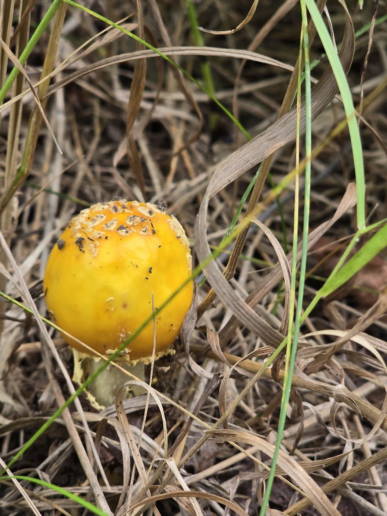
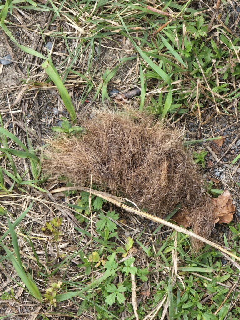
There are also a ton of berries, trees, flowers, and wildlife to run into! I ran into a hairy woodpecker and a common snapping turtle.
The Good, The Bad, and The Ugly
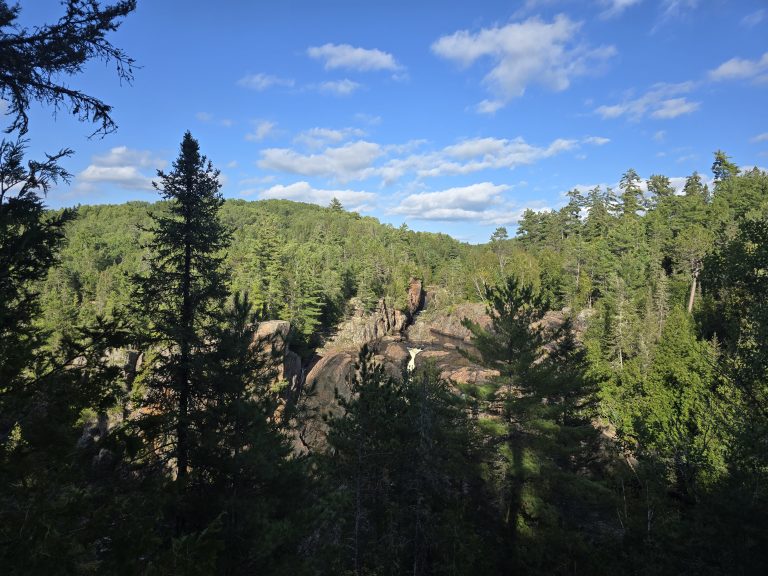
Staying at Burwash is always more of a stop of convenience for us rather than a stop of beauty. There’s lots of old roads to walk around and explore nature, and of course, there’s the nearby prison, but unless you’re willing to trek your canoe or SUP down the road, you’re really just staring into the woods.
Photo Dump


References
- CLUPA POLICY_IDENT: G2051
- GPS coordinates: 46°14’25.0″N 80°50’37.8″W (46.240278, -80.843833)
Note: CLUPA states this exact site is not Crown Land, however, there is a Crown Land notice from the Province of Ontario and we have run into MNR here without any issues, so, I am confident that even if it is private land, it is campable, but as always, please stay here at your own risk!
One Comment