Top of the Giant – Sleeping Giant PP
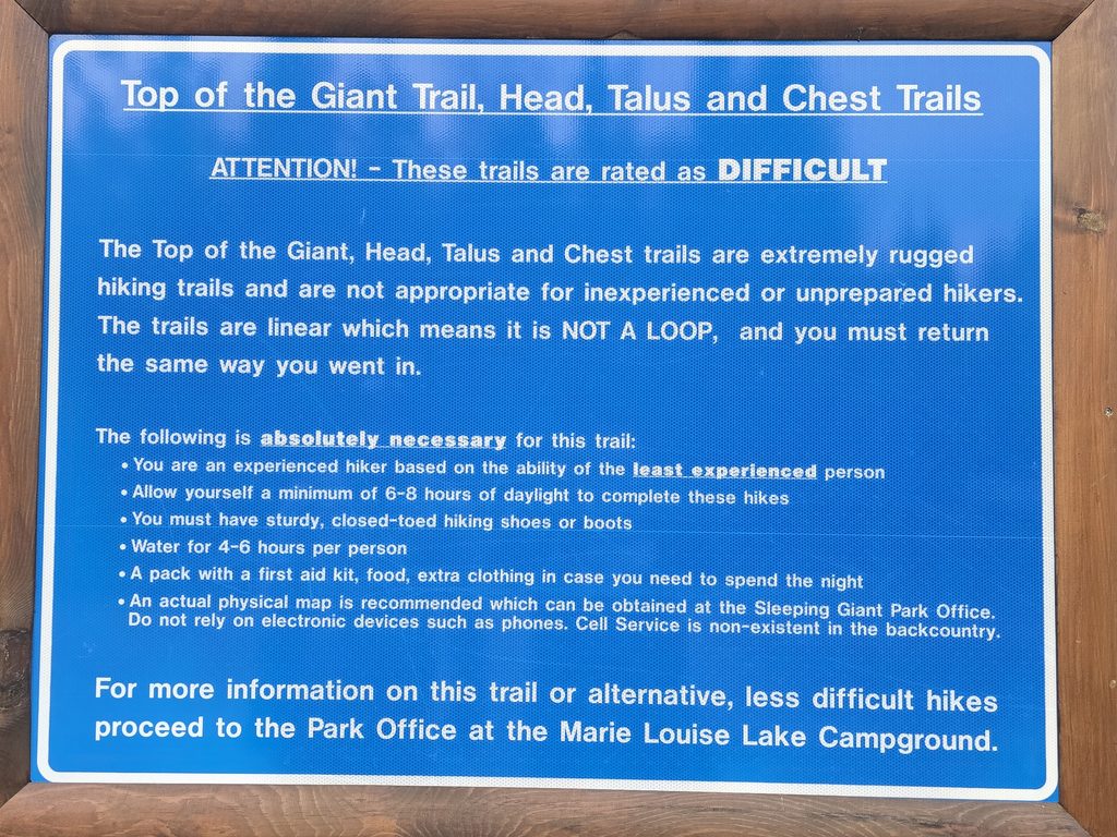
The Top of the Giant trail at Sleeping Giant Provincial Park near Thunder Bay, ON has been on my bucket list for a long, long time. We went in October to avoid the hot weather since we knew it would be a strenuous hike, and I’m so glad we did!
Trail at a Glance
| Distance | 22.34 km* | Elevation Gain | 489 m |
| Time to Complete | 6h48m moving time 7h55m total time | Terrain | varied |
| Difficulty | strenuous | Dog Friendly | yes |
| Trail Type | out-and-back | Date Visited | October 17, 2026 |
*Note: The Sleeping Giant PP website lists the trail at 21.8 km, however, my AllTrails app and Apple Watch both register the total trail (return trip from parking lot and back) was closer to 22.3 km.
Getting There
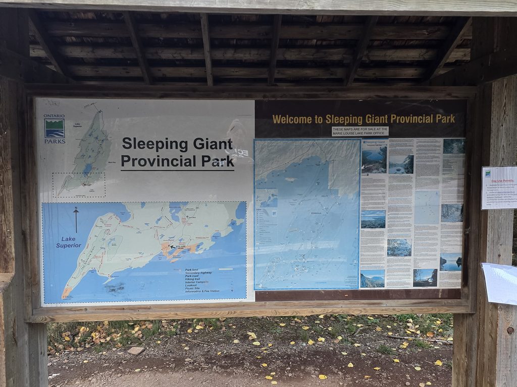
To get to the park / trail head, you are going to turn off the Trans-Canada Highway onto Hwy 587. You’ll want to keep going past Marie Louise Campground until you see the parking lot on the right for the South Kabeyun trail head parking area.
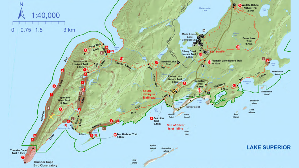
There are several routes you can take to explore Sleeping Giant, however, we wanted to see the Gorge Lookout, so we went to the Top of the Giant, though another popular route is to take the Nanabosho Lookout Trail.
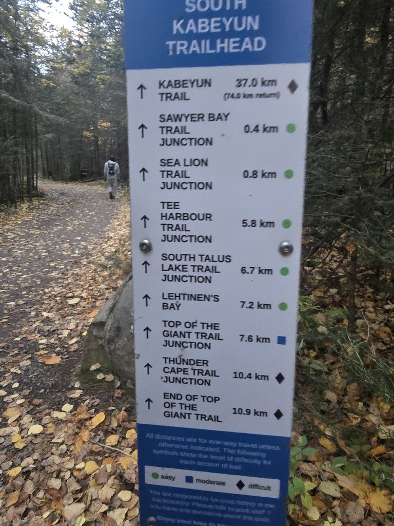
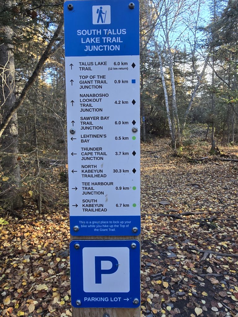
Taking this route means you will be starting at the South Kabeyun trail head parking area for approximately 6 kms until you Talus Lake Trail before beginning your ascent up the Top of the Giant Trail. Along the way, you will pass Sea Lion Trail and Lookout and Tea Harbour Trail and campsites.
The Trail
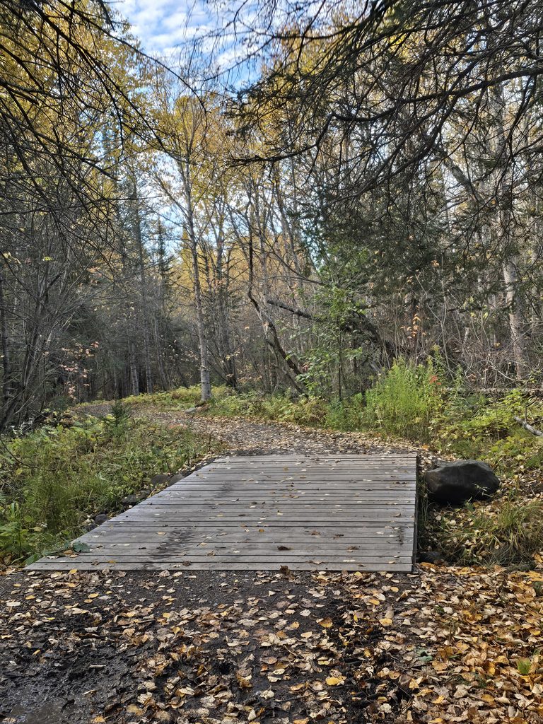
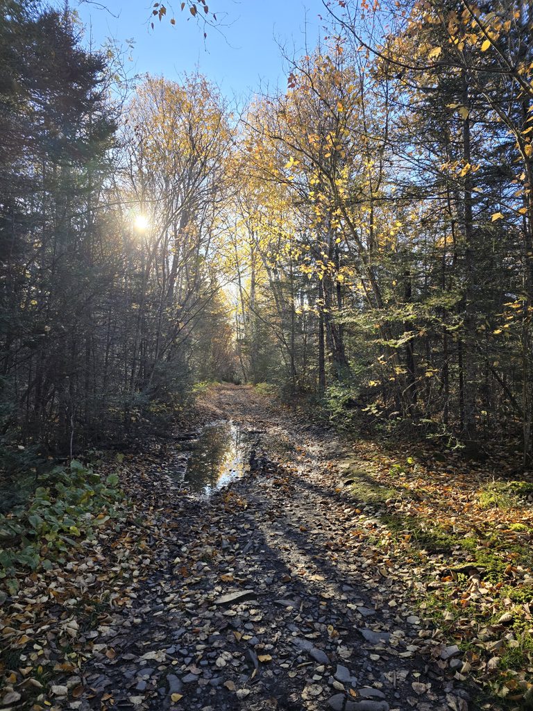
This journey begins with a very flat 6.7 km calm walk through the woods – that’s basically what the South Kabeyun trail is like to Talus Lake Trail. It was a bit muddy but overall, it’s just a very basic forest walk. Many people recommend making this experience easier by renting or bringing a bicycle and cycling this length instead of walking it – the park provides a bike rack to lock your bikes at the junction of the trails, and I also saw some people locking them to trees or posts. We did not cycle, unfortunately, so we braved the footpath.
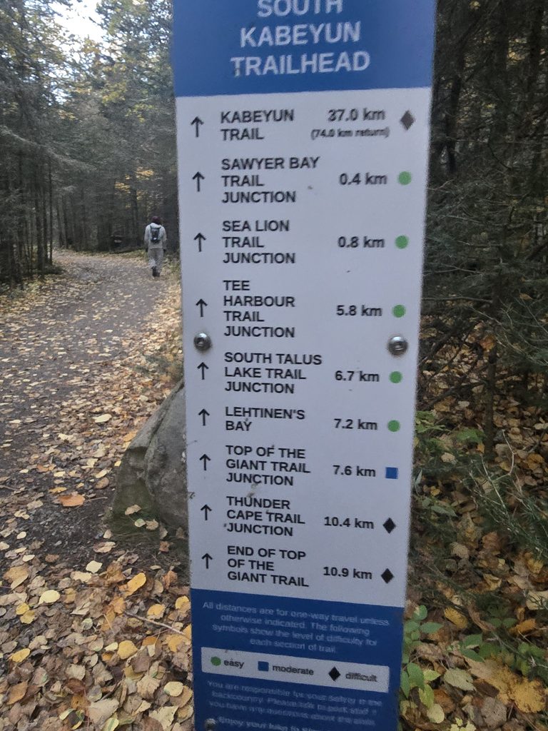
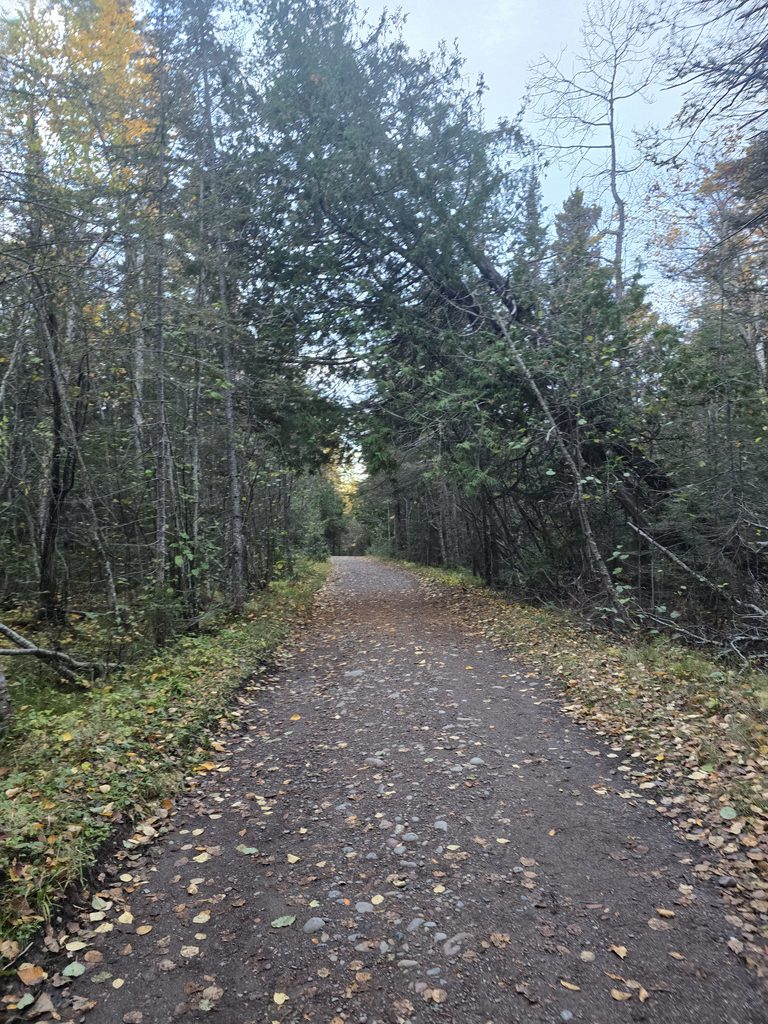
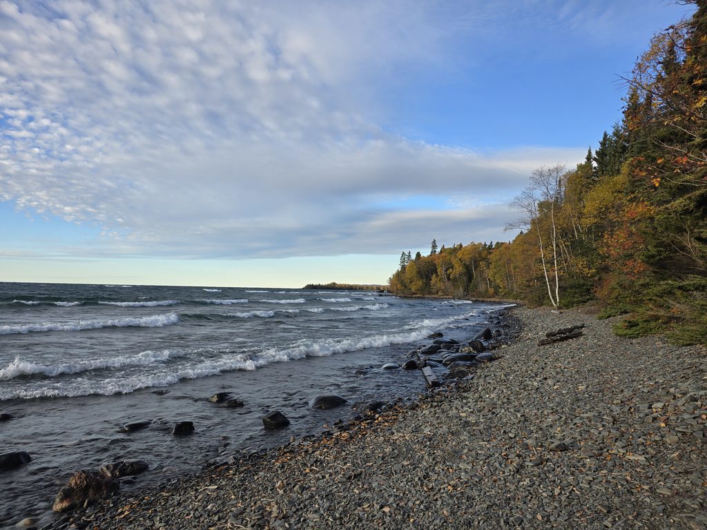
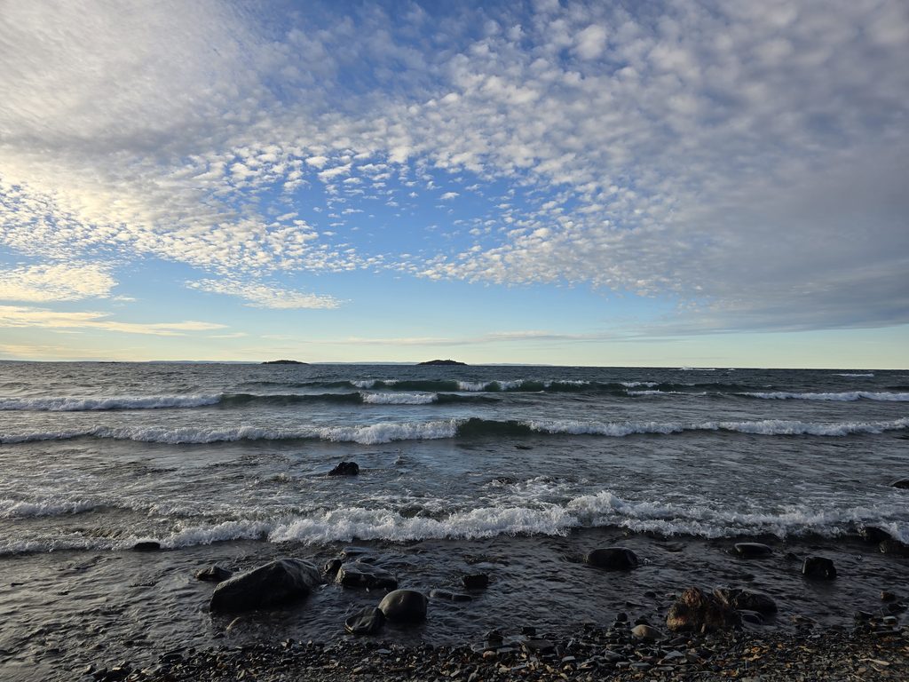
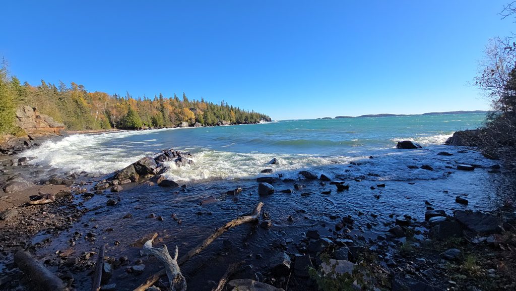
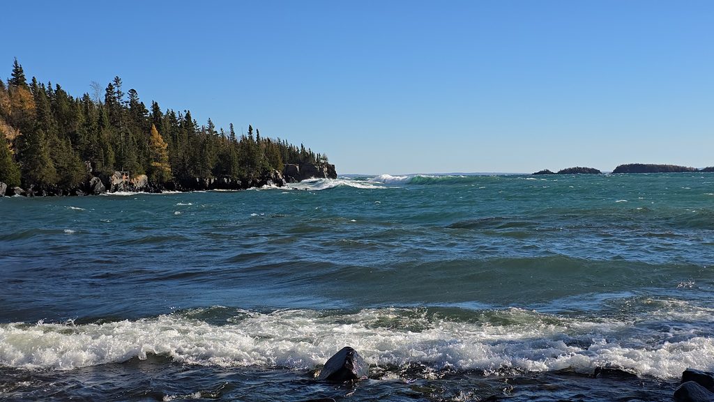
If you want to visit the Sea Lion lookout along the way, it’s just a short walk in from the parking lot. Along the way, there’s beautiful views of Lake Superior, as well.
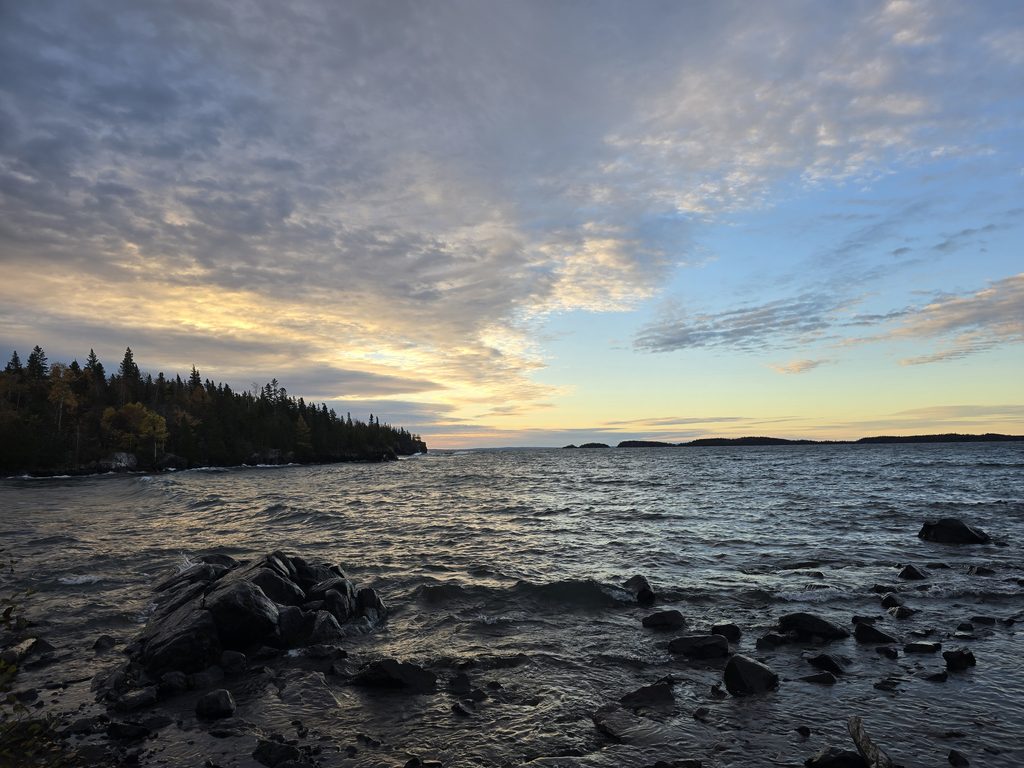
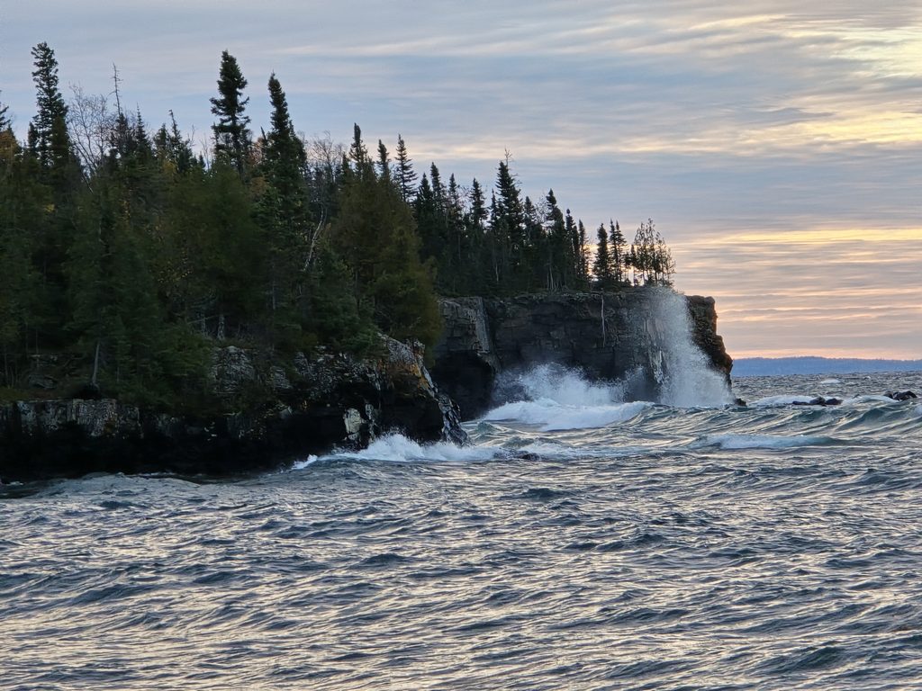
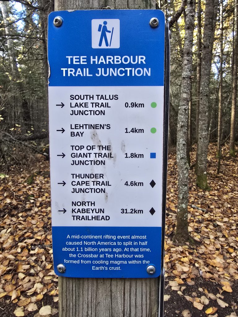
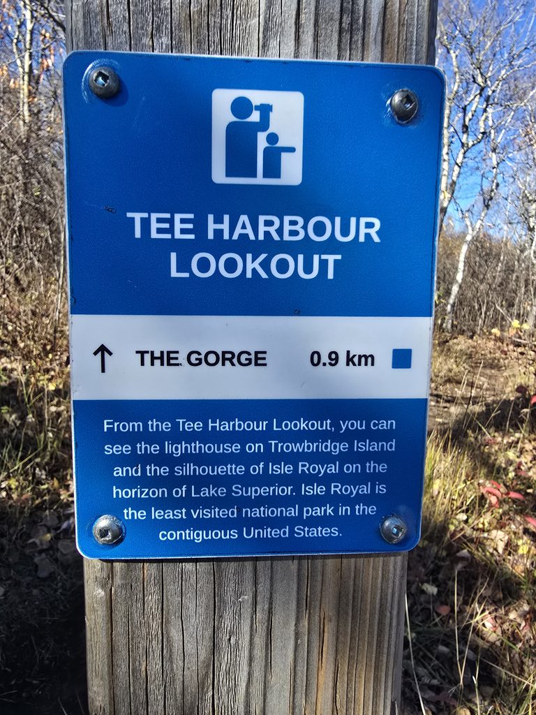
About 5.8 km into the hike, you will come to Tea Harbour. Tea Harbour has some beautiful views of Lake Superior, a thunderbox bathroom, and a backcountry campsite that has a firepit.
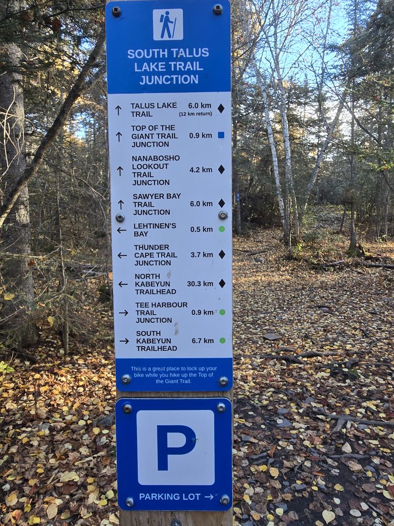
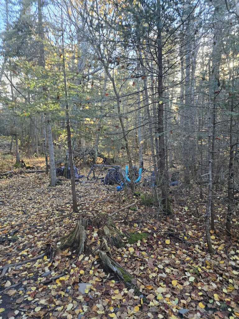
Another 1km or so and you’ll come to the junction. This is where the bike racks will be, along with another thunderbox bathroom. This junction seemed to serve as a meeting or gathering place for people to take a break, eat a snack, drop some gear, and prepare for the ascent or the journey back out.
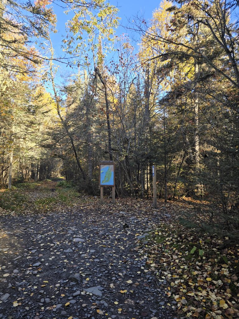
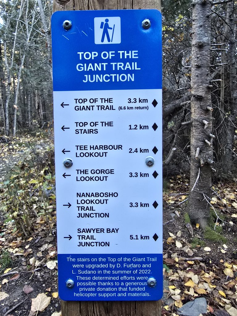
Once you’ve had your snack and mentally prepared for what everyone knows is about to be a tough hike, you can head past the bike racks and start up the stairs! The trail from here to the first lookout is just a lot of varied terrain – scaling rocks, climbing stairs, traversing some overgrown grass, walking down flat paths… basically, if there’s a terrain that could exist, this trail is going to have it.
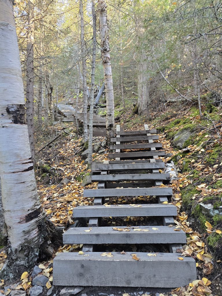
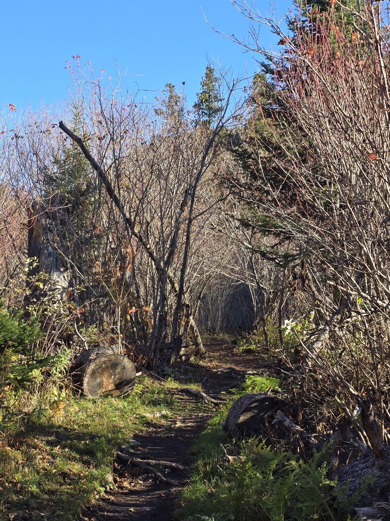
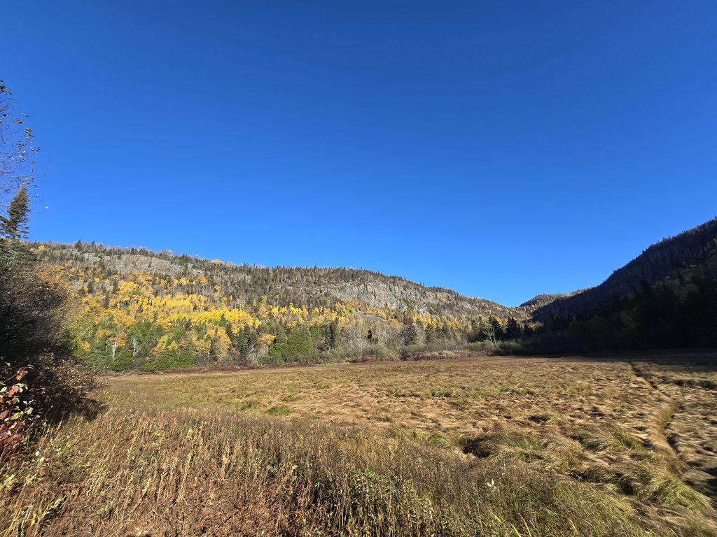
Eventually, after what feels like forever but has actually only been like an hour, you’re going to start truly feeling like you’re gaining elevation and start to see snapshots of Lake Superior and a giant field – both of which you’ll have hiked past within the last hour or so.
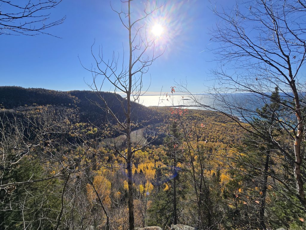
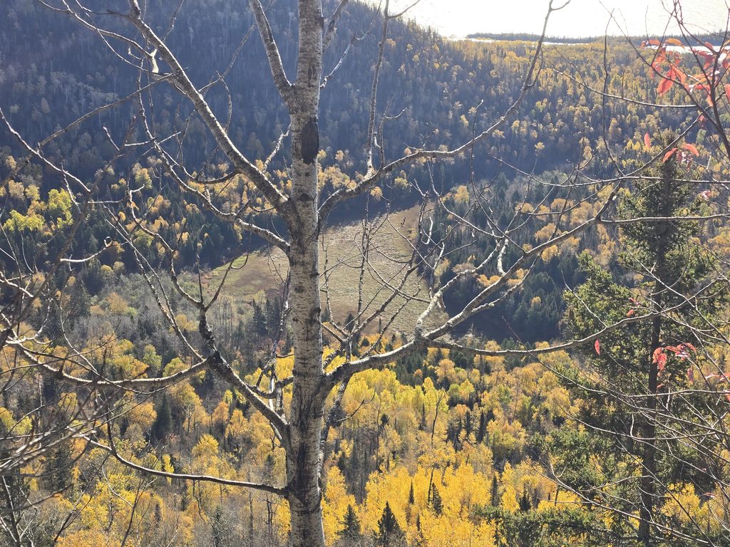
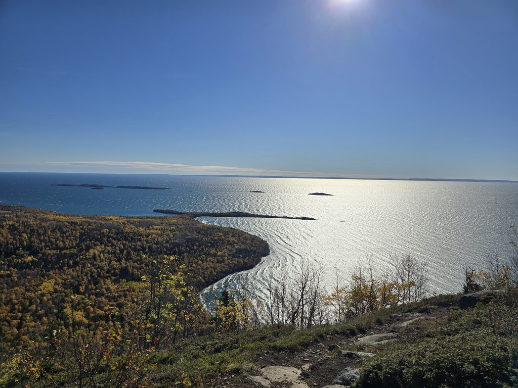
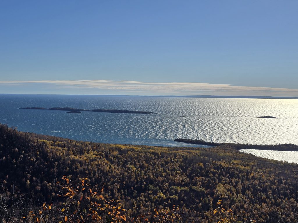
Eventually, you will get to the first lookout…
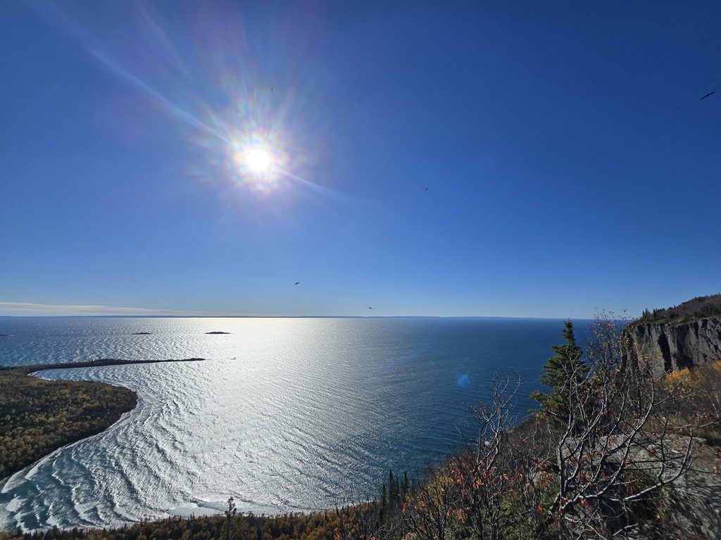
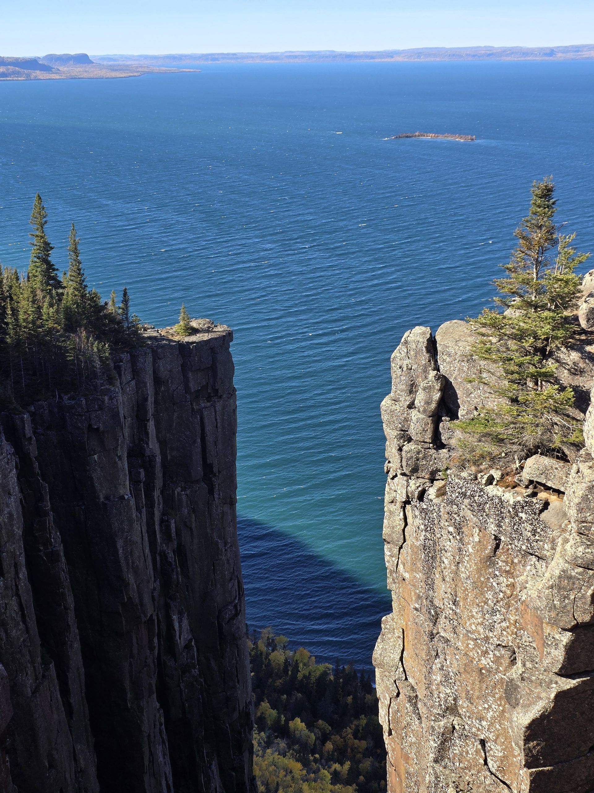
And if you continue just another 0.9 km, you’ll get to the Gorge Lookout…
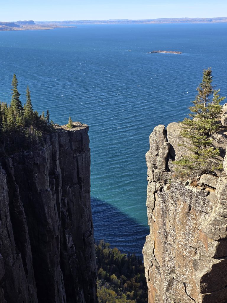
Here is where most people rest, have some lunch, and enjoy the views. When you’re ready, it’s time to turn around and do it all over again…!
The Good, The Bad, and The Ugly
The lookouts and views from the top are absolutely stunning and without a doubt worth the effort. But man, is there a lot of effort involved. We are not out-of-shape people, but we also aren’t super fit endurance trail runners either. I hike pretty regularly at varying degrees of effort, but I do have poor cardio so I tend to get winded quickly. Ryan doesn’t ever hike, but has better cardio despite arthritic knees. So, for us, this hike was doable, but we felt it for 3-4 days afterwards. The worst part, by far, was the 6-7 km hike back from Talus to the South Kabeyun trail head where we parked the truck. It was so bad, in fact, that I had originally planned to take a 500m detour to see the Sea Lion lookout on our way out and I decided not to because I just so, so badly wanted to get off my feet.
Things to Know Before You Go
First and foremost, take a bike or be prepared to walk a lot more than necessary.
Secondly, and actually probably the more important recommendation: leave early! We saw a lot of people heading up (without packs) while we were on our way down, which seemed very dangerous given the early sunset times in October. In fact, the Tuesday before we hiked Sleeping Giant, two hikers had gotten lost on the trail due to the setting sun and dead cellphones, resulting in the Ontario Provincial Police (OPP) having to deploy officers on ATVs to help locate the hikers. Thankfully, they were found safe but is a stark reminder of how quickly you can become disoriented in the dark, even on a well marked trail!
Photo Dump

References
- Ontario Parks website
- GPS: 48.341652202111085, -88.82281084096256