Wenebegon River (Hwy 129 / Algoma)
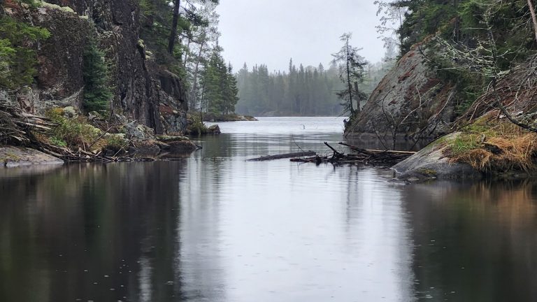
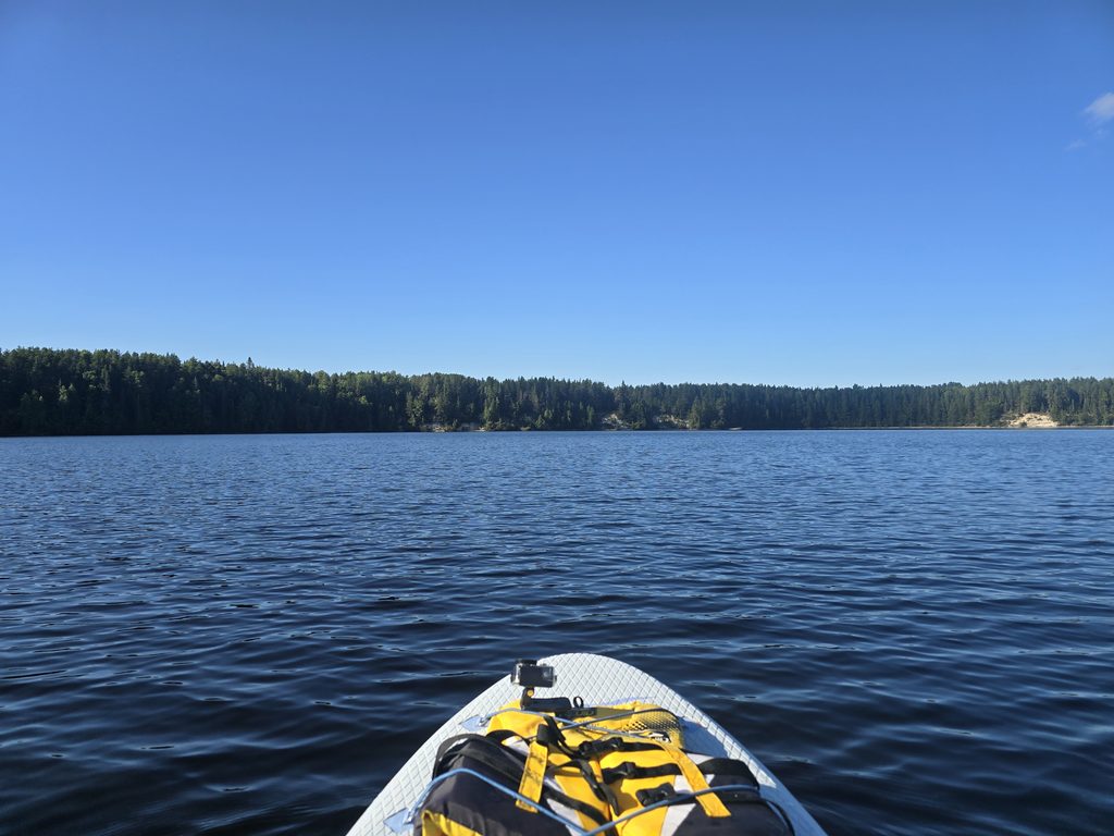
Wenebegon River in the Algoma District quickly made it to our list of favorites, and as soon as you see the breathtaking view for yourself, I think it’ll find its way on to your list of must-see places, too!
To prepare for our journey down Hwy 129, we had scouted several spots and added them to our map. We are usually very lucky that our target destination has not been previously claimed by others, but this particular trip started to feel like we were never going to find one. We had passed our first 3-4 target spots, only to see several trailers or campers already set up. So, we kept on going until our last spot. And shockingly, it was free!
Getting There
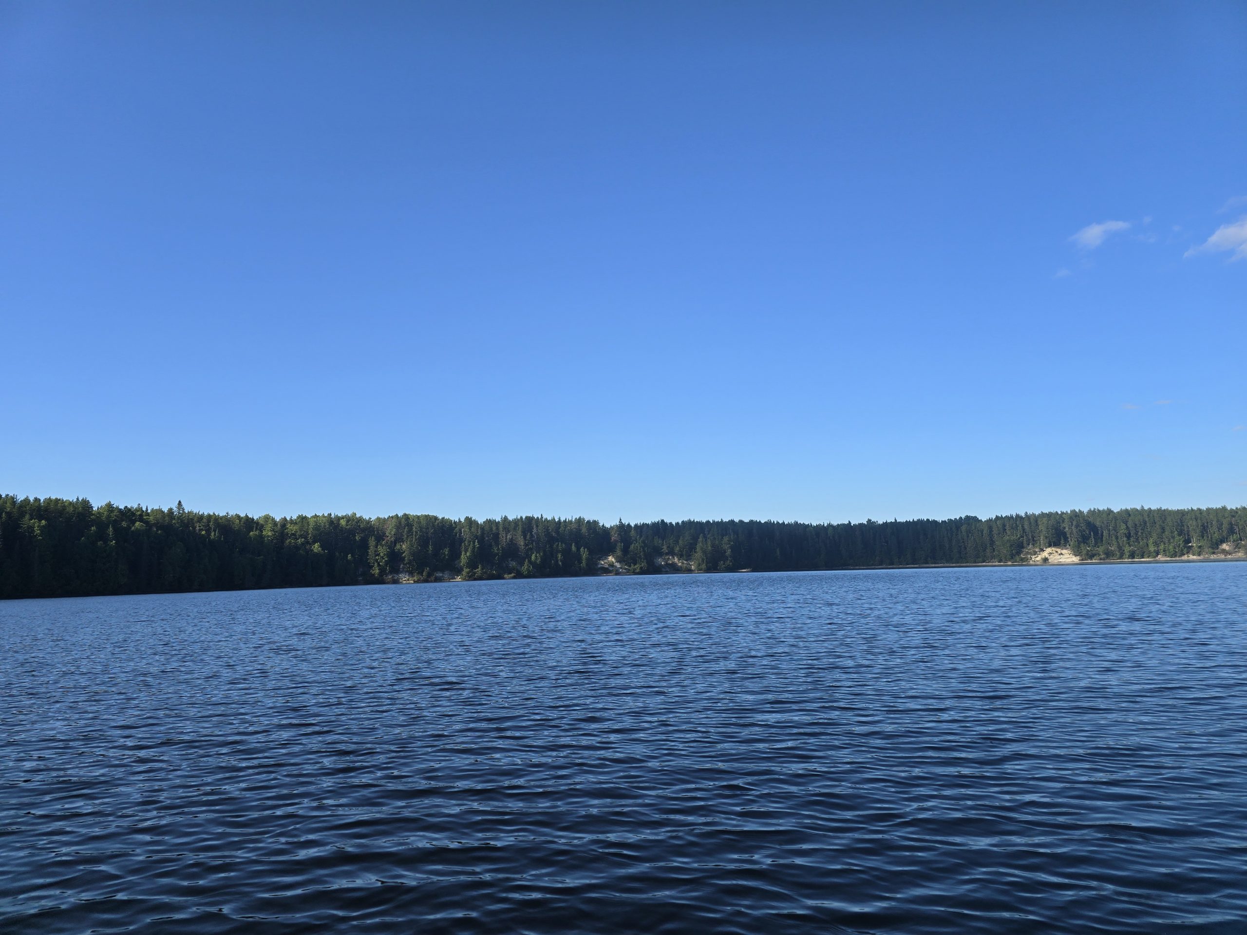
Most of the sites along Hwy 129 are accessible by taking trail roads right off the Hwy. For our specific site, once we turned off Hwy 129, it really was as simple as just driving straight until we hit a dead end where we were presented with three options: (1) a larger site off to the right, (2) the site we chose in the dead center, and (3) a more secluded site to the left. All three sites had approximately the same views and access to the beach. We chose the site in the center solely because we use Starlink and solar power, and need direct views of the sky (the other two sites are a little more forested).
Nearby Amenities
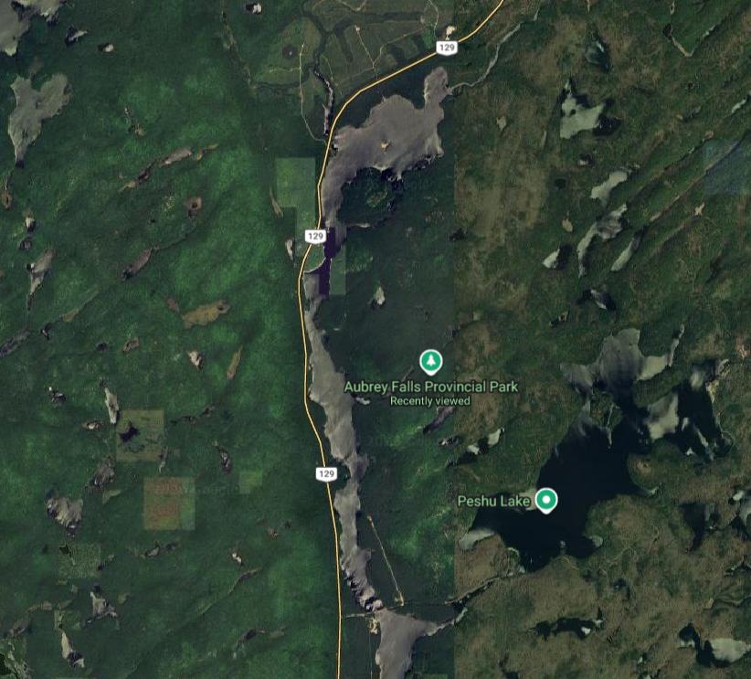
This site is nearly dead-center between Thessalon and Chapleau, so if you can, I’d plan ahead, otherwise you have a nearly 100-120 km drive to the closest town.
While the lake (and other nearby lakes) provide great fishing and paddling opportunities, there isn’t much else to do here other than spend some time in the water or head to nearby Aubrey Falls Provincial Park.
The Site
Our site was medium sized with a steep decent to the water. It had clear views of the sky which worked well for our Starlink and solar panels, and there were some trees nearby to hang up our hammock.
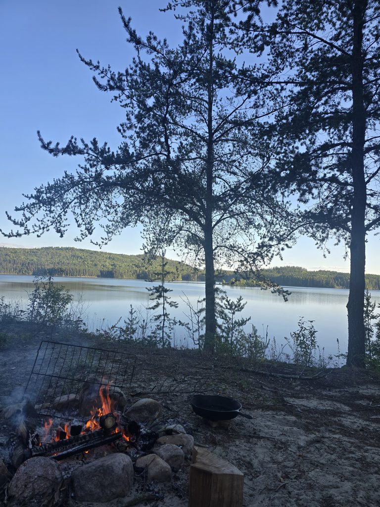
The water access is a bit difficult – it’s basically a steep, sandy pathway that leads down to the water. We were able to bring our canoe down it, but getting it back up was quite the journey and we ended up rigging a makeshift pulley system to help with the weight.
Please note: there is a dog’s grave / memorial that has been built in between the site we chose, and the site to the left in the woods. It’s hard to tell it’s a grave at first as it’s been (intentionally) covered with drift wood, but as you approach it, you can see a dog collar. If that’s something you’re uncomfortable with, just be aware and perhaps choose a different site if you come here.
Activities
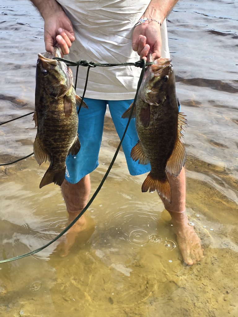
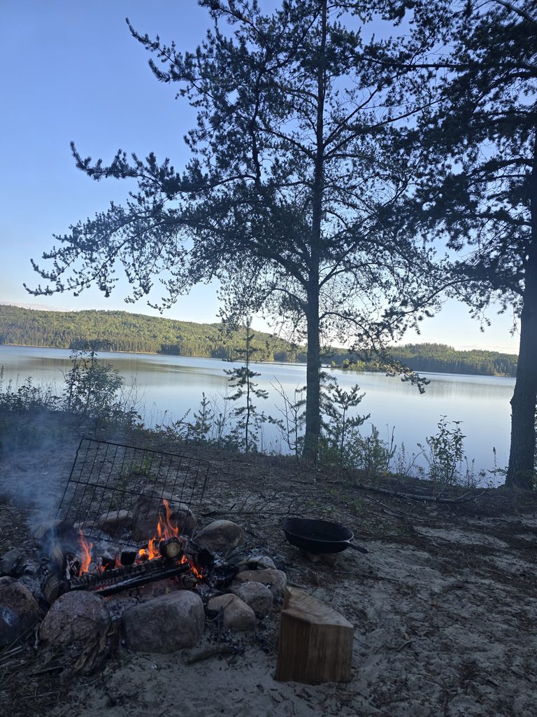
While here we went paddleboarding, canoeing, fishing, and had several campfires. We caught 4 smallmouth bass and we also saw a dead Northern Pike wash ashore.
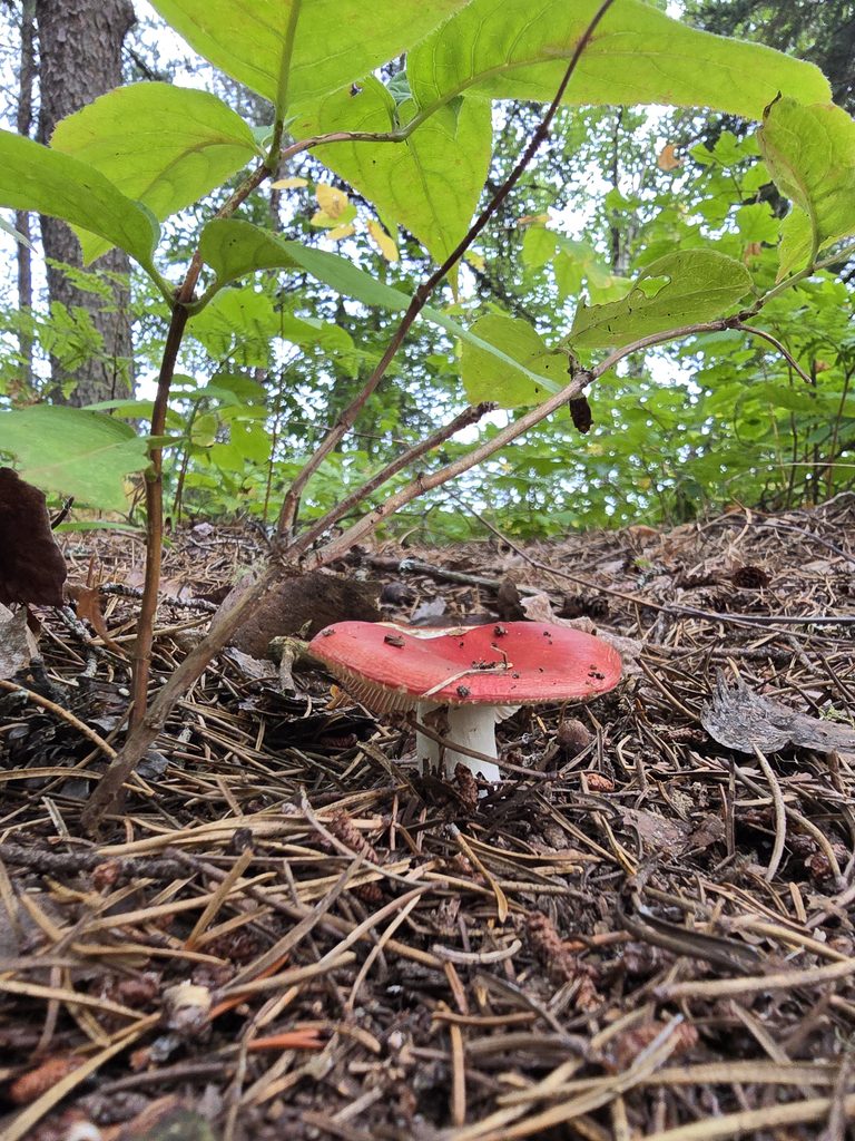
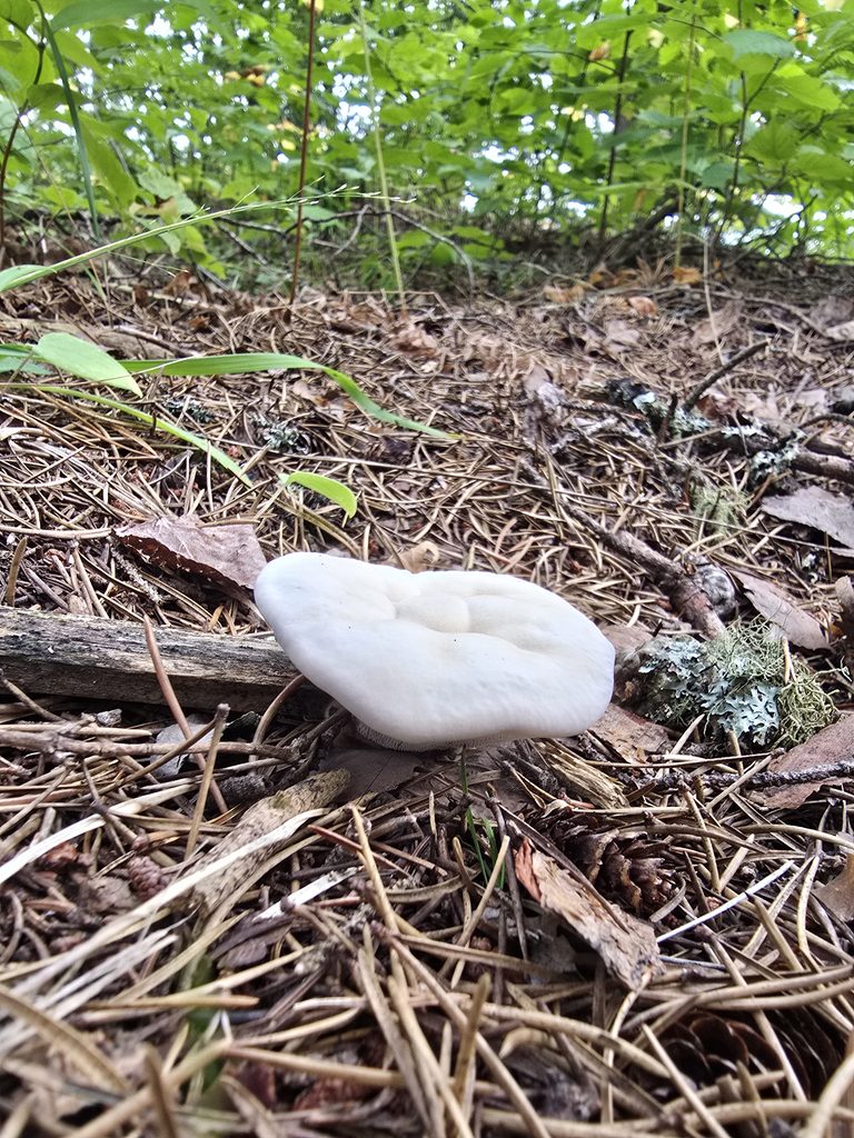
There’s tons of birds if you’re into bird-watching, as well as many wild flowers and mushrooms to forage.
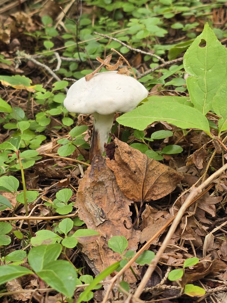
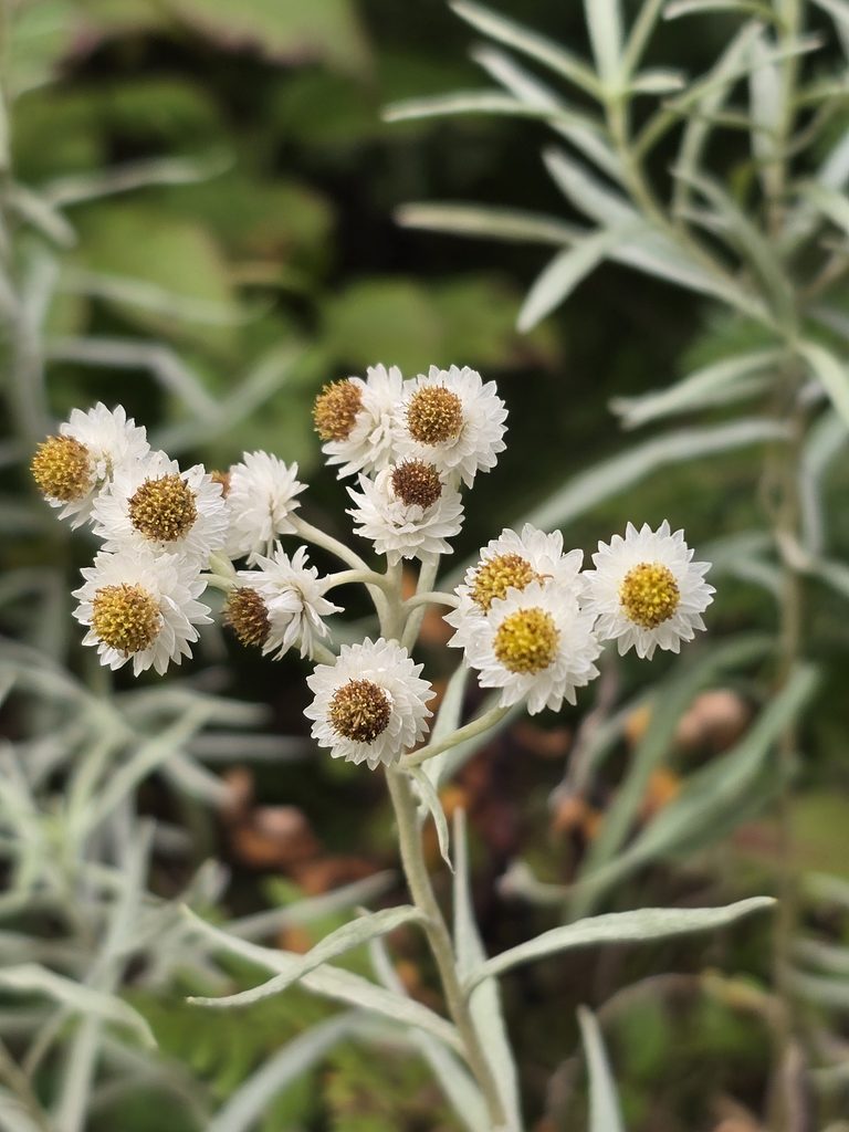
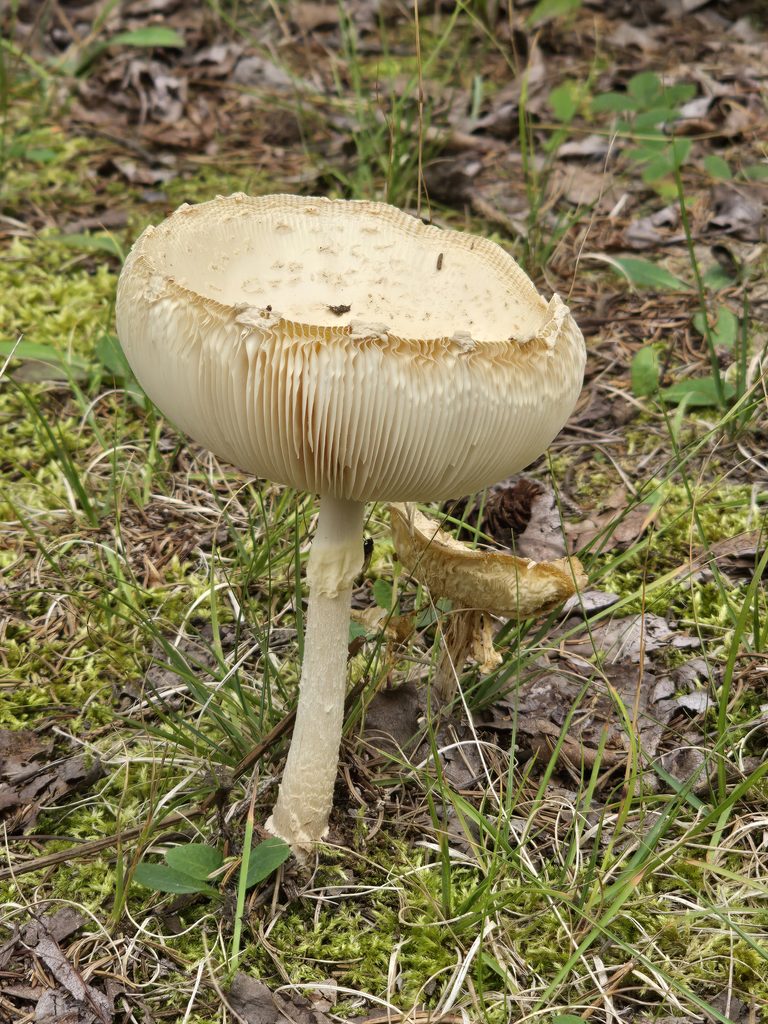
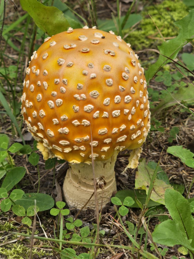
Unfortunately, winds from nearby storms made for fewer adventures on the water than we would’ve liked and only made it out a handful of times. To make up for it, we had a ton of campfires. There is also a small island about a 5-10 minute paddle from these sites. It looks like some people may use the island for backcountry camping – when I paddled there to explore, I saw a tent set up with some people. I very quickly hopped back on my paddleboard as to not disturb them, so I am not sure what the actual campsite on the island looks like, but I imagine it must be nice for them to have stayed there all weekend.
The Good, The Bad, and The Ugly
Overall, the beauty of this site is nearly unmatched. Even our family had made comments about how it was one of their favorites that we’d been to! Unfortunately, there were storms with gusts up to 80 km/h in the area when we visited, so it got a little chilly at times, and made activities like canoeing or fires nearly impossible. Even still, we stayed here Sept 6-13, 2026 and every day was absolutely wonderful, even if the wind kept us off the water.
Photo Dump
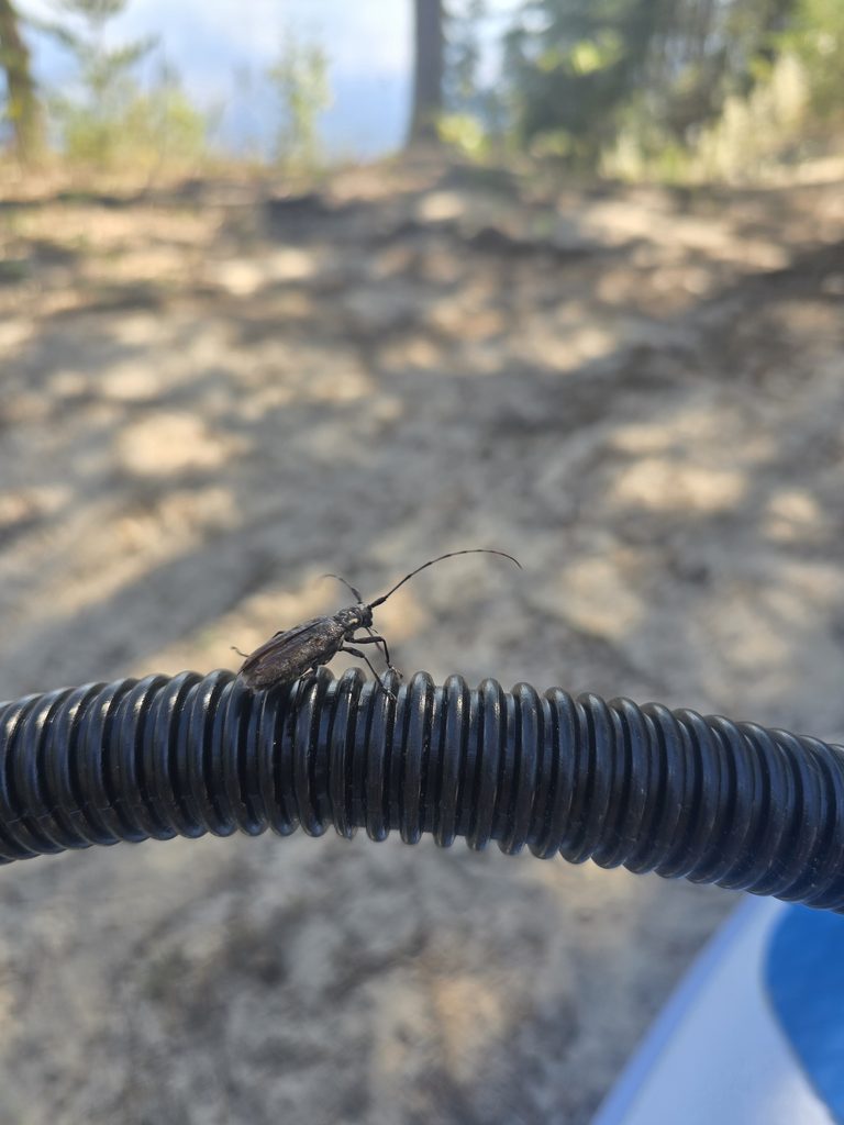
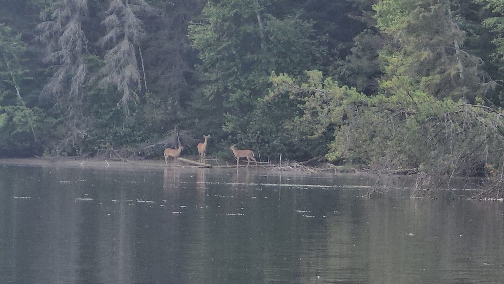
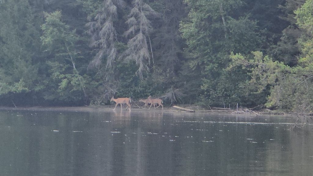
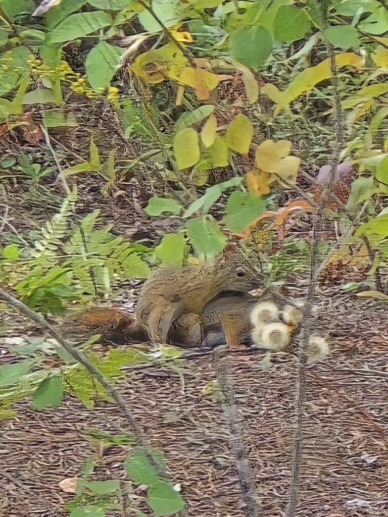
Pictured above: a long-horned beetle, some white tail deer along the shoreline, and some red squirrels making more red squirrels.
References
- CLUPA POLICY_IDENT: P1873
Disclaimer: We were certain this site was Crown Land, however, in the writing of this review and trying to locate the CLUPA information for readers, I have actually discovered this site is technically on Aubrey Falls Provincial Park land and is a designated trout management area. Though you are still allowed to fish here, I am unsure if camping on these spots is actually allowed, so please do so at your own risk.